Yesterday I pulled a lower back muscle improperly lifting the heavy box of firewood we store in one of LeuC’s “basement” compartments. It is not a big deal but the stiffness that resulted laid me up for the day. Mary Margaret and I had hoped to go play golf but instead, it was decided that it would be smarter to just keep to the campsite and do back and stomach exercises to loosen the sore muscles and strength my stomach muscles.
That strategy seemed to work as this morning as I was feeling much better and could get around pain free. The regime of exercises will continue for a week or so but I will no longer be hindered by my back. Yea!
To celebrate my recovery, and to scratch the itch to get out and around, I decided to use our little Fiat and explore the large recreation area we are in. Mary Margaret was in the middle of a good book so she decided to stay home and “nest”.
I had been told about an observational tower nearby from which you could see the five lakes that dominate this part of the rec area so that was my goal for today. As it turned out, it was “a’fur a piece” down a narrow, one lane bumpy dirt road that cut a path through the thick forests which dominate this rec area.
In my last blog, I was rather critical of the poor job that Michigan’s Dept of Natural Resources had done in creating the campground we are staying in. Instead of merging the campground into the natural habitat of the dense woods, they simply bulldozed a clearing, plopped down some picnic tables and fire rings, ran a 30 Amp power line, paved a narrow lane to loop around the campground and squeezed in, a lot of sites. The result is a crowded RV park-like setting instead of a beautiful campground that it could have been. Sigh.
In contrast to our ugly campground, the photos I took today shows the beauty of the area we are surrounded by and the potential of creating a beautiful campground which the numskulls from the Dept. of Natural Resources missed. I will augment each photo with a little explanation of what it shows but, for the main part, will let the photos do the talking.
View Of The Lakes
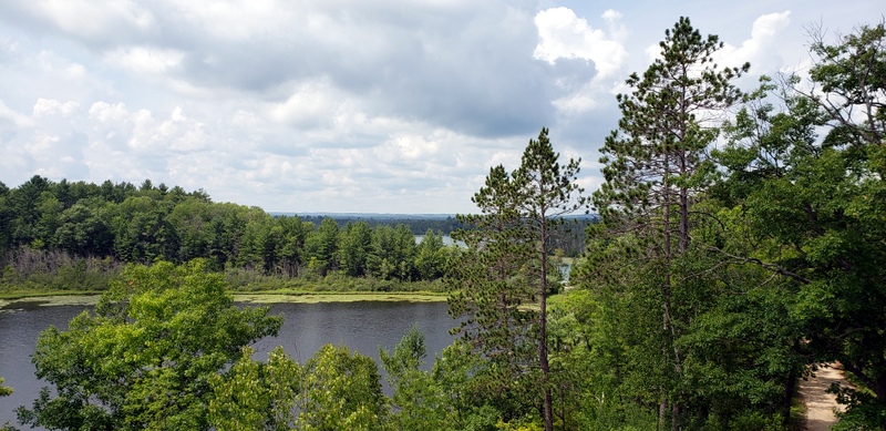
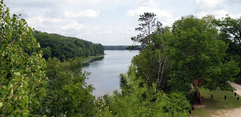
After climbing up the 40-foot tall observational tower, I was presented with a 360-degree view of the 5 lakes that surrounded me. Two of the lakes are really just large ponds but all combined, they are the source waters of the Rifle River. With these two photos, you can see how beautiful the woods are. Also, you can see in the lower right corner of each photo the narrow dirt lane that I followed.
A Fishing Dock On One Of The Lakes
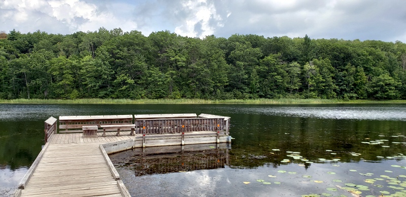
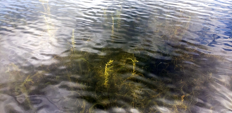
All of the lakes here are relatively shallow. These two photos are of one of the lakes and their how beautiful but shallow it is.
Woods and River

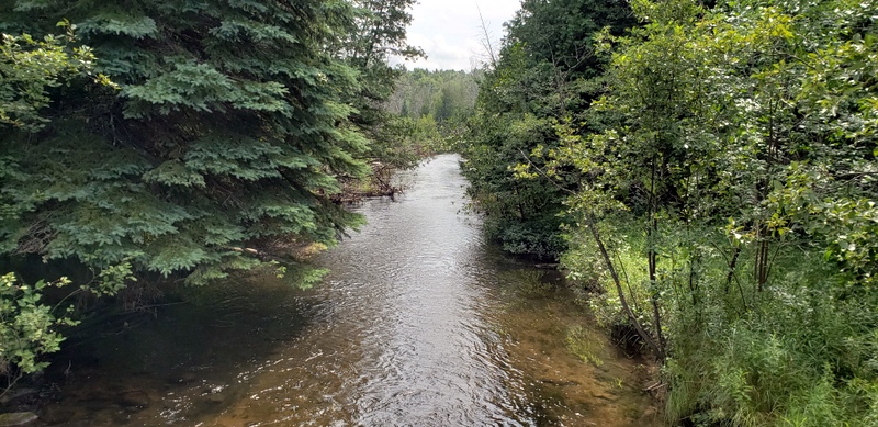
These two photos present how thick and wonderful the woodlands are and what the Rifle River looks like as it runs free from its source waters. Throughout its 60-mile course to Lake Huron, it is fairly narrow and shallow, with depths of only 18 to 48 inches deep. Nevertheless, it is a wild river and offers great wild trout fishing.
